
Why the FEMA zone matters for your mortgage and insurance
Map status, the lender's flood determination, and the insurance quote are separate records. Ask the lender whether coverage is required and a licensed insurance professional what protection is available.
Add the written premium, deductible exposure, exclusions, and any water-management work to the ownership comparison. Review the quote and policy terms before deciding how Zone X affects cost or optional coverage.
How FEMA defines Flood Zone X
FEMA maps flood hazards using annual-chance probabilities. Zone X is outside the one-percent annual-chance Special Flood Hazard Area. Shaded Zone X can show the 0.2-percent annual-chance area or certain other mapped conditions; unshaded Zone X is identified as minimal flood hazard.
These are statistical map categories, not promises about a lot or basement. The one-percent annual-chance term describes probability in any year, not a once-per-century schedule.
How Zone X differs from Zone A, AE, and V
Zones A and AE are Special Flood Hazard Area designations. Zone V identifies coastal high-hazard conditions and is not expected for an inland Washtenaw County address. Zone X is outside the Special Flood Hazard Area; ask the lender to state its requirement for the specific collateral and loan.
Ask a licensed insurance professional whether optional coverage fits the property and your needs. Compare NFIP and private options, limits, deductibles, exclusions, waiting periods, effective dates, and written quotes.
Washtenaw County flood risk beyond the FEMA label
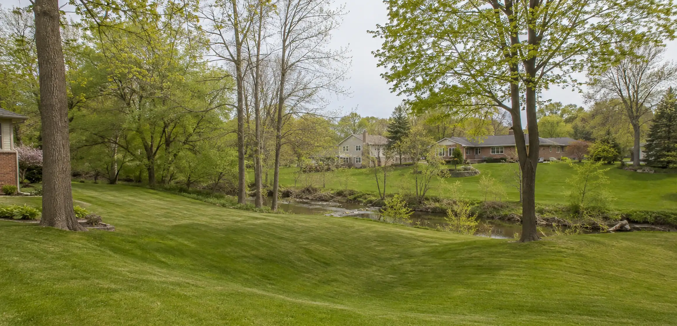
The Huron River and local tributaries appear in Washtenaw County flood mapping. Review grading, drainage, groundwater, sewer backup, sump systems, disclosures, permits, and repair records separately because FEMA panels address modeled flood hazard.
The Washtenaw County Water Resources Commissioner, municipalities, and Michigan EGLE publish information within their respective drainage, stormwater, and floodplain roles. Match the property question to the office responsible for that record or system.
How to check a flood zone by address
Start with the FEMA Flood Map Service Center. Enter the property address or locate the building on the map, then open the current effective panel and record its designation, number, and effective date.
If the building is near a mapped boundary or prior water is disclosed, ask the lender, insurer, local floodplain administrator, and a qualified surveyor whether an elevation certificate or other evidence is needed. The recipient decides how the elevation data affects its own review.
If the parcel crosses mapped areas or the address result is unclear, search for effective Letters of Map Change and contact FEMA or the local floodplain administrator. Use the current effective records, regardless of the base map's age.
Next steps for a Zone X property
Save the map reference with the seller's disclosures, inspection findings, and written insurance quotes. Give the record to the lender confirming any loan requirement and the licensed insurance professional explaining the available coverage.