
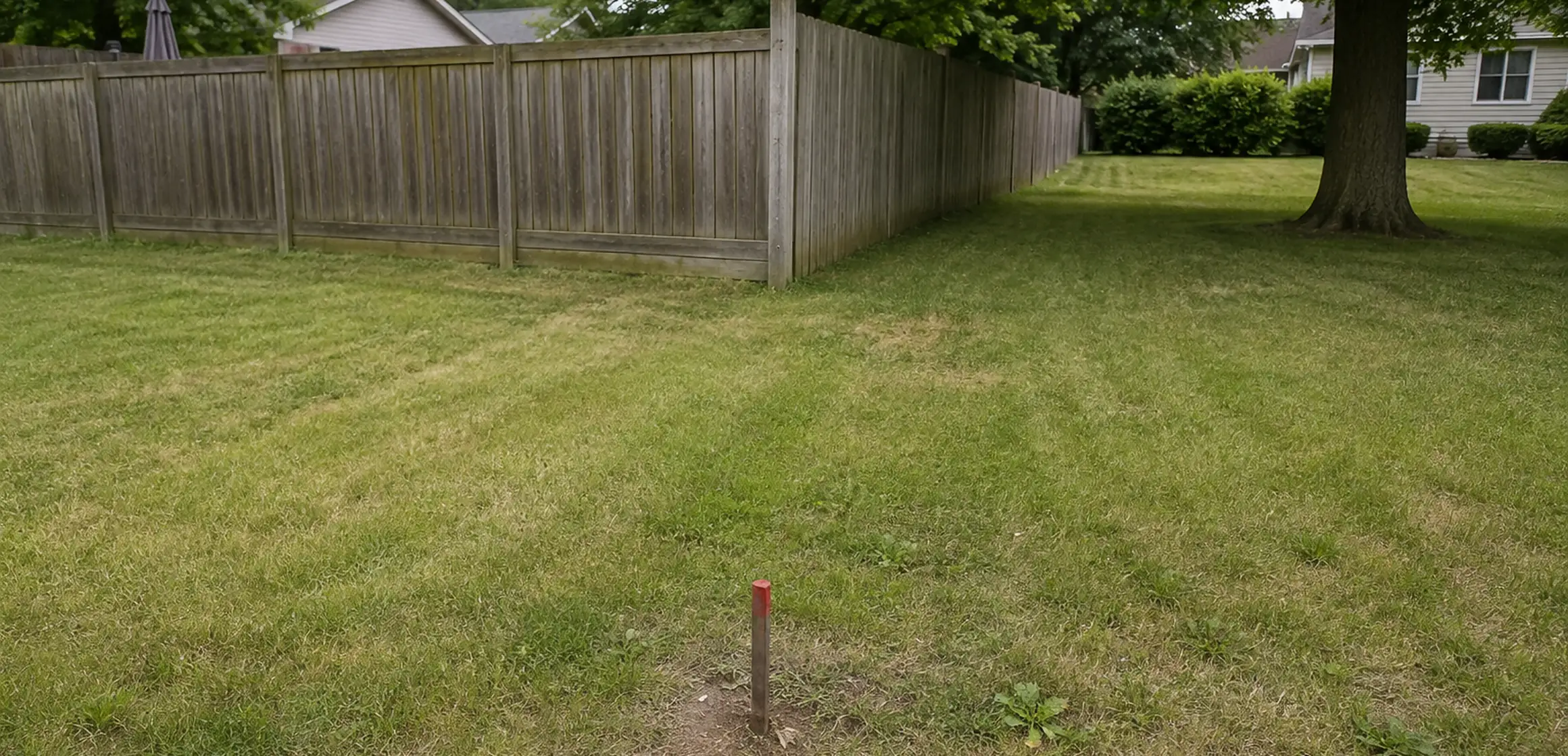
The map on the listing is not the boundary
Parcel outlines on listing portals and government viewers are useful for orientation, but their own disclaimers explain that the mapping is not a survey. The layers can be assembled from assessment and geographic data and should not be used to place a fence, locate a corner, or decide whether an improvement crosses a boundary.
When a plan depends on the exact line, such as for a fence, addition, driveway, or work near a neighbor's property, use the appropriate records and a licensed professional instead of relying on an online map.
Records used to evaluate a boundary
The county parcel viewer shows the parcel shape, parcel number, acreage, and assessment record. Use it for orientation, not to establish a legal boundary.
The recorded plat is a filed subdivision map that can show lot dimensions, monuments, easements, and other recorded information. A surveyor or title professional can explain how the applicable plat relates to the current parcel and later documents.
The deed and its legal description identify the interest conveyed. Reading a description against a plat, monuments, occupation lines, and later recorded documents can require a surveyor and, when rights are disputed, an attorney.
A boundary survey applies the relevant records and field evidence to the parcel. A licensed Michigan surveyor may recover or set monuments and document a professional opinion of the boundary. The land-survey guideexplains what to request and what the resulting work can establish.
Older subdivisions and rural parcels
In older neighborhoods, fences, hedges, drives, and garages may not align with the boundary shown by the applicable records and field evidence. The age of a visible feature alone does not establish the legal line.
Rural parcels may use metes-and-bounds descriptions, reflect earlier land divisions, or be affected by recorded easements for access or utilities. Those interests and the evidence in the field may not be visible on an aerial image.
Washtenaw County maintains parcel and assessment data, and the Register of Deeds holds the recorded documents. Both are public and should be reviewed before relying on a portal outline.
How to review a boundary
- Pull the parcel on the county viewer to get the parcel number, the shape, and the stated acreage.
- Request the recorded plat or the legal description for the parcel from the Register of Deeds.
- Ask a surveyor how to identify possible monuments in the field; do not move or rely on a marker you cannot verify.
- Ask whether a prior survey exists. It may be useful background, but confirm whether later deeds, divisions, improvements, or easements affect it.
- Consider a current boundary survey before you build, fence, remove a tree near an uncertain edge, or assert a boundary position.
A surveyor can locate and document a professional boundary opinion; an attorney advises on disputed ownership or use rights. A real estate agent can help gather transaction records but should not decide either professional question.
Boundary terms and records
Definitions for common boundary terms and the records associated with them.
Look up a specific parcel
How to find public parcel and land records for a specific address.
Limits of mapping tools and apps
Phone apps are useful for orientation and are not a substitute for a located corner.
When the fence and the deed disagree
A fence, hedge, drive, or garage may appear to occupy a different line from the available mapping or records. Do not infer the legal result from the age of the improvement or the size of the apparent discrepancy.
Longstanding use can raise fact-specific questions about boundaries, easements, or ownership rights. Those are legal determinations, not conclusions to draw from a portal map or for an agent to make.
Gather the deed, plat, prior surveys, and relevant recorded documents. A surveyor can advise what fieldwork is needed, while an attorney can advise when a legal claim, agreement, or title issue should be addressed. The order depends on the facts and any transaction deadline.
If the parties consider an agreement, easement, or lot-line adjustment, use the appropriate survey, legal, municipal, and recording professionals so the result is properly described and documented.
For sellers
If a seller knows of a possible encroachment, shared use, or uncertain line, gathering the relevant records before listing can make the issue easier to explain and refer to the right professional. Legal disclosure questions should go to a Michigan real estate attorney.
An existing survey can be useful transaction history, but it may not reflect later changes or resolve every question. Locate it before listing and ask a surveyor or title professional whether it is current and relevant to the issue at hand.