
Why a property-lines map only gets you part of the way
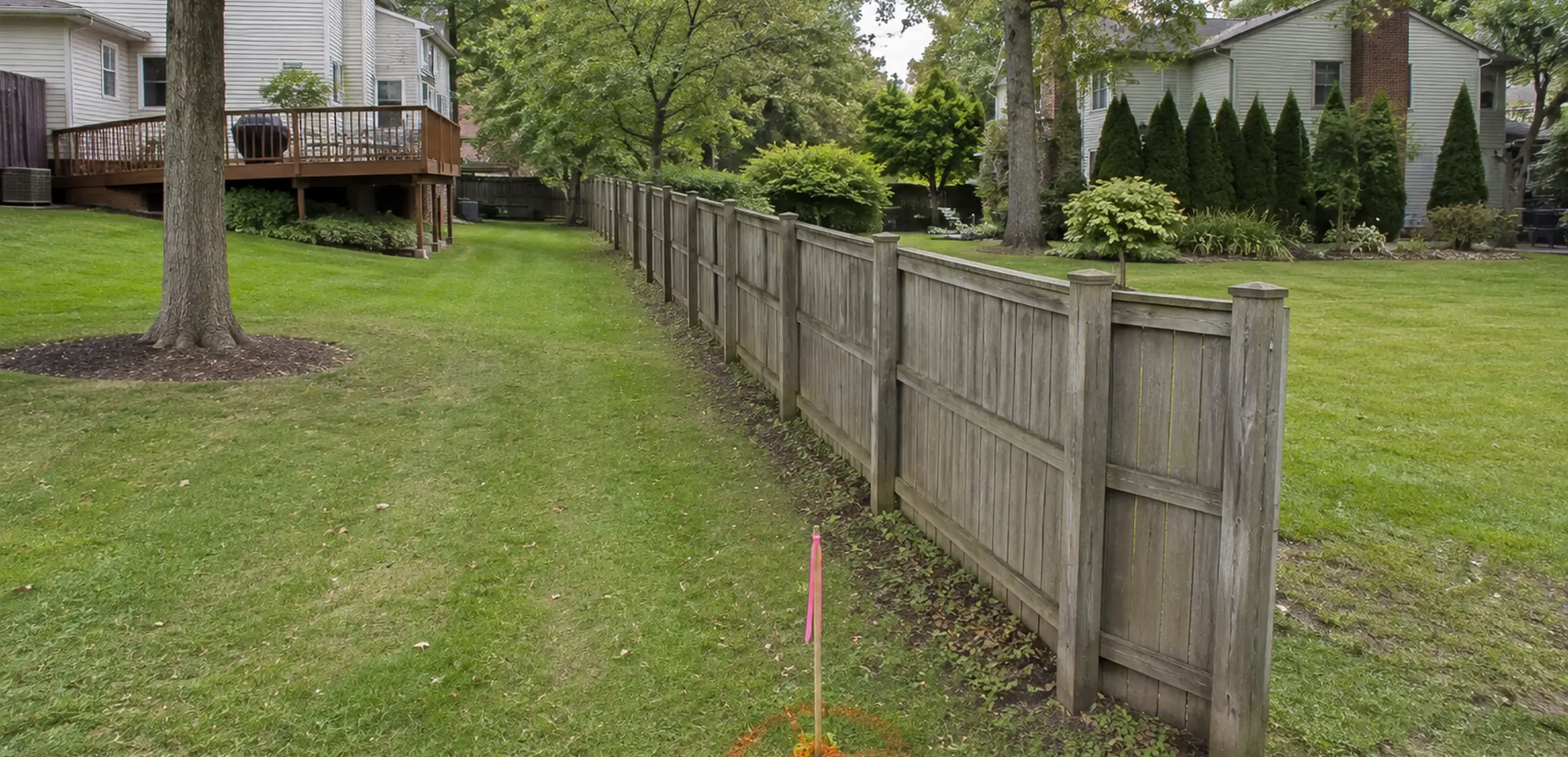
A property-lines overlay on a real-estate portal may look exact, but it usually represents approximate parcel geometry. A fence, driveway, or planted area that appears to cross the line is a question to verify, not proof of an encroachment.
The phrase 'property lines map' can refer to a county GIS viewer, tax parcel map, recorded plat, or surveyor's drawing. These sources were created for different purposes and should not be ranked or treated as interchangeable without knowing the question and stated limitations.
A mistaken assumption can affect an addition, fence, access arrangement, or later sale. Use the map to identify the issue, then move to the underlying documents and appropriate professional review.
What a parcel map shows
A GIS parcel map provides approximate tax-parcel geometry and may display it over aerial imagery. A recorded plat depicts the subdivision details shown when it was filed. A surveyor researches the applicable records, measures the site, evaluates field evidence, and prepares the deliverable defined by the engagement.
These records answer different questions rather than forming a universal ranking. A GIS map supports orientation, a plat records subdivision information, a deed supplies the legal description, and a surveyor relates record and field evidence within a defined scope. Ask the lender, title professional, municipality, or attorney what each decision requires. For the free digital version, see the property-line map online guide.
Washtenaw County parcel maps and their limits
Washtenaw County provides MapWashtenaw for parcel and public-record research. Displayed fields and layers have their own sources, dates, and limitations; the parcel geometry is approximate and is not maintained as a field survey.
Recorded descriptions and monument references vary among Ann Arbor, Dexter, Scio Township, Pittsfield Township, and other Washtenaw County parcels. GIS geometry may generalize curves and cannot reproduce all record or field evidence.
Assessment and tax fields are separate from a professional boundary determination and cannot settle the line on the ground.
Review the purchase agreement and negotiated terms to see whether a survey or marked corners were promised and who is responsible for them.
How to verify a property line for a specific address
Start with the Washtenaw County Parcel Map Viewer and search by address. Zoom in until you can see the parcel number, also called the parcel ID or PIN. Cross-check that number against the listing and the deed. If the shape on the map does not match the fence or driveway, that is a flag, not proof.
Next, use the legal description and recording references to locate the relevant plat or other documents through the Washtenaw County Register of Deeds. Compare their dimensions, bearings, monument references, and easements with the GIS orientation and any survey.
How to find property lines sets out the records and field-review process.
How to locate a plat map online covers the county lookup.
If the boundary location is material, ask a Michigan-licensed surveyor what scope is appropriate. Ask the title professional, lender, municipality, or attorney separately whether the resulting work satisfies its requirement.
What the parcel viewer is not
Washtenaw County parcel mapping supports assessment, administration, and public research and includes data-use limitations. Treat displayed geometry, acreage, ownership, and assessment fields according to their source and date.
The viewer is useful for parcel identification and orientation but does not locate the boundary on the ground.
If a purchase, project, access right, or dispute depends on the location, bring the public and transaction records to the responsible survey, title, municipal, or legal professional.
When to order a survey
Give the parcel map, plat, deed, and available title materials to a licensed surveyor when the line must be located. Direct questions about rights shown in the records to a title professional or legal advisor.