
How to find property lines in Washtenaw County
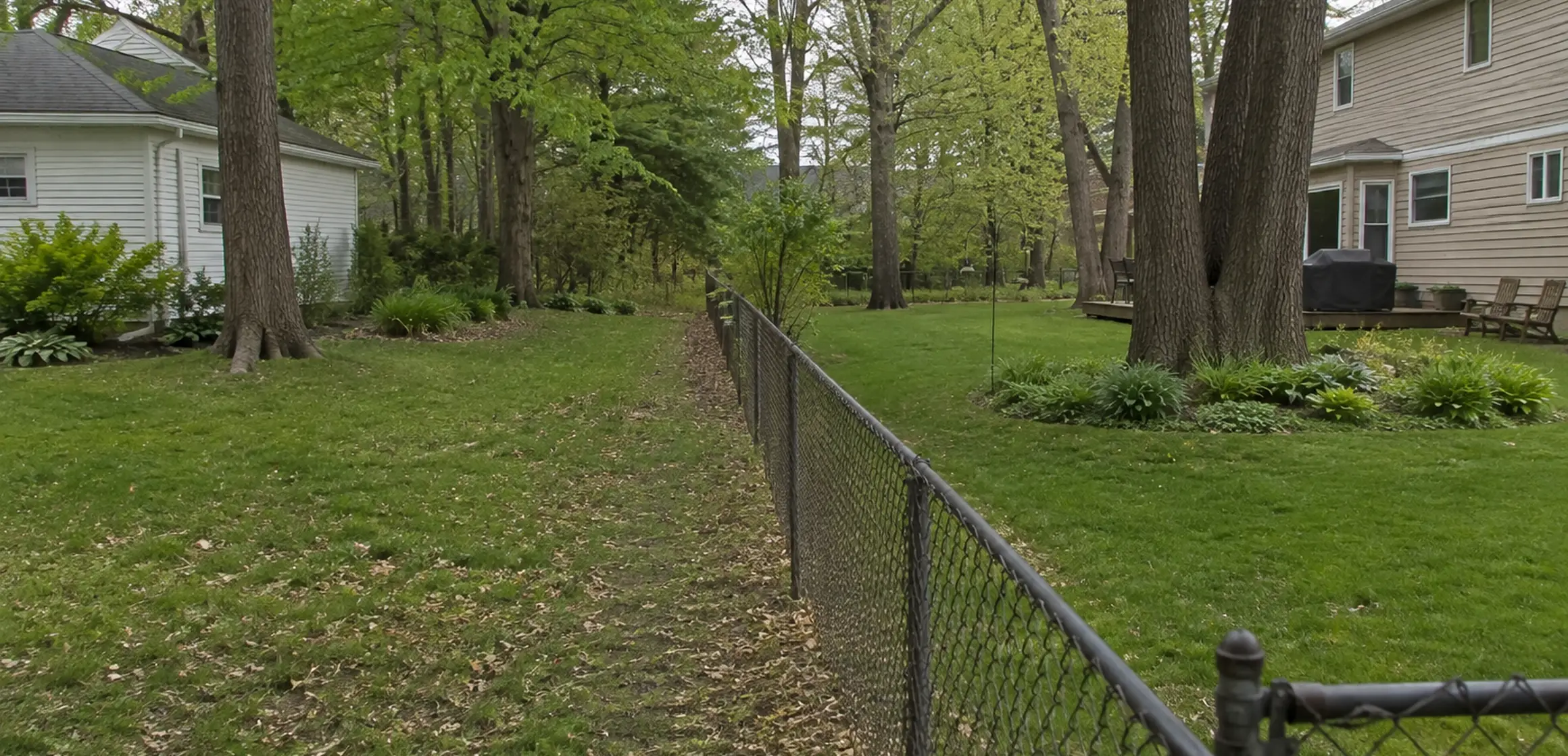
A fence, driveway edge, or tree line on a Scio Township, Pittsfield Township, or other Washtenaw County property may not match the recorded boundary. The issue matters when a buyer is evaluating usable land, access, or a possible fence, garage, addition, or other project.
Online maps, fence lines, and neighbor recollections may conflict. None is sufficient when a purchase, access right, or planned structure depends on the boundary.
Why the exact line affects your offer and your budget
A boundary discrepancy may change whether a proposed garage, deck, fence, or accessory building has the required space and setbacks. It can also raise title, access, maintenance, or neighbor-use questions.
If a tree line, drainage feature, parking area, or driveway is important to the purchase, identify it explicitly and direct the question to the surveyor, title professional, municipality, or attorney whose work covers it. The required evidence depends on the property and contract.
Easements can also affect land inside a parcel and may not follow the boundary. Relevant information may appear in the deed, plat, title materials, or a separate recorded instrument. Ask a title professional or attorney to explain the rights, and the municipality to address any project requirements.
What the main boundary records tell you
A deed contains a legal description of the parcel. Depending on the property, that description may reference a recorded subdivision plat, metes-and-bounds calls, government-survey references, monuments, or other recorded material.
A recorded plat documents the subdivision information shown when it was filed. Later easements, road actions, divisions, combinations, agreements, or other instruments may also matter, so the plat should not be assumed to be the entire current record.
A boundary survey relates the relevant record and field evidence within a stated professional scope. Lawn edges, fences, landscaping, sidewalks, and driveway aprons may be compared with that evidence, but their visible location does not establish the boundary by itself.
What makes Washtenaw County property lines tricky
Washtenaw County includes platted subdivisions and metes-and-bounds parcels, so the relevant record may be a subdivision plat, a deed description, a prior survey, or several of those documents. Later divisions, combinations, easements, or road records can add another layer.
The Michigan Department of Licensing and Regulatory Affairs maintains professional-license records. Confirm the surveyor's current license and ask whether the property's record system, available monuments, terrain, water boundary, or recent improvements affect the proposed scope.
How to find property lines for a specific address
Start with the deed or title material available for the transaction. Use its legal description, parcel number, subdivision reference, and recording information to search the Washtenaw County Register of Deeds through the search methods the office currently provides.
Next, open MapWashtenaw. Its GIS layers can help identify the tax parcel and show available assessment information against aerial imagery. The geometry is an orientation tool, not a survey, and visible offsets among the parcel layer, image, or site features should be retained as questions. For another view of the workflow, see the property-lines map guide.
If a rod, pin, pipe, stake, or concrete marker is visible, photograph its location without moving it or declaring it a corner. Marked or metal objects can relate to utilities or unrelated work. Do not dig for a monument without following utility-notification requirements and consulting a licensed surveyor.
The city or township planning, building, or assessing office may hold related site plans, approvals, or local mapping. Ask which records exist for the parcel and whether a fee or formal records request applies.
If the boundary location is material, obtain a written proposal from a Michigan-licensed surveyor. The proposal should identify the survey type, field work, features to be shown, monument work, deliverables, fee, and expected schedule. Ask separately whether the resulting document is eligible or useful for recording, title, permitting, or lending purposes.
From public records to a survey
Gather the parcel, deed, and plat records for the property. If the boundary could affect the purchase, give those records and the specific question to a Michigan-licensed surveyor.