
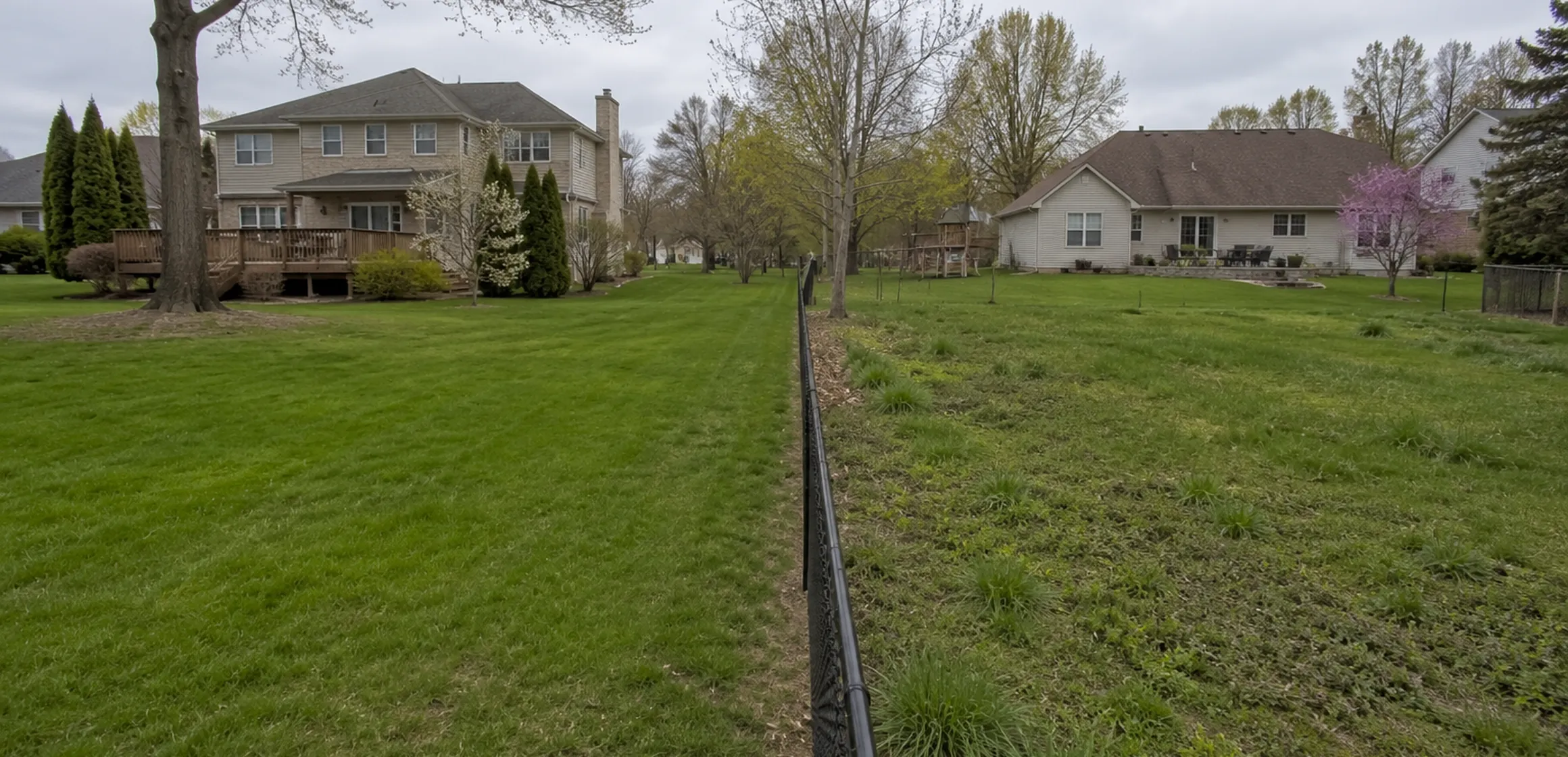
The gap between an online property line map and the real lot line
The shaded parcel on an online map may look exact even though it is an approximate GIS representation. Treat a fence, detached structure, driveway, or planted area that appears inside or outside the overlay as a question for the records and survey.
An online parcel map is useful for orientation, but it is not a boundary determination. Treating it as one can create unsupported assumptions about the land included in the purchase.
Why a property line map online matters before you write an offer
The boundary location may affect a fence, shed, driveway, tree, drainage feature, parking area, or setback calculation. The size and significance of any difference cannot be inferred from the screen.
A lender, title insurer, municipality, surveyor, or attorney may require different evidence for its decision. Keep the question and supporting records with the rest of the property diligence.
Treat an online parcel map as a screening tool. It can help identify the selected tax parcel and frame a question; the surveyor and contract documents determine the appropriate next step.
What an online property-line map shows
A property line map online is usually a GIS parcel viewer. GIS stands for geographic information system, a digital map built from tax records, recorded plats, and aerial photography. The lines you see are the assessor's interpretation of where one parcel ends and another begins.
The map supports assessment and public research. A surveyor locates a field boundary, while the relevant parties or legal process resolve a dispute. The property-lines map guide compares the main parcel sources and their limitations.
The map may also display a parcel ID, acreage, jurisdiction, or other fields. Check the source, date, and disclaimer for each item before comparing it with transaction or municipal records.
Washtenaw County's online parcel mapping
Washtenaw County provides MapWashtenaw for parcel and public-record research. The Equalization Department and local assessors have defined roles in property-description and assessment information; check the identified source and date for each layer.
A municipality may publish additional assessing, zoning, or infrastructure information. Those layers answer different questions; survey evidence still comes from the surveyor's record and field work.
Some legal descriptions reference a subdivision lot, while others use section, township, range, metes and bounds, or another record system. Read the source documents for original monuments, measurements, and later recorded instruments omitted from the online parcel map.
How to verify a property line online for a specific address
Start with the Washtenaw County Parcel Map Viewer and enter the address. Zoom in until the parcel is outlined and the parcel ID is visible. Write down the parcel ID, acreage, and township, then compare the outline to what you see on the ground.
Next, use the deed or title material to locate any applicable recorded plat and later instruments through the Washtenaw County Register of Deeds. Read the dimensions, easements, monuments, notes, and amendments shown in the record. Locating a plat map online covers the county records process.
For a no-cost records check, follow the steps for finding your property line for free. If you observe a possible monument, leave it in place and provide its location to a Michigan-licensed surveyor.
- Search the address in the Washtenaw County Parcel Map Viewer and record the parcel ID.
- Cross-check the parcel outline against the recorded plat at the Register of Deeds.
- Compare the map to fences, driveways, and structures on the ground.
- If the map, records, and visible features appear inconsistent, ask a licensed surveyor what field work is appropriate.
When an online map is not enough
An online map is not enough to place construction or resolve a boundary dispute. Ask a Michigan-licensed surveyor what survey scope is appropriate, and ask the municipality, lender, title professional, or attorney what documentation each needs.
When to bring in a surveyor
Save the public parcel and plat records for the property. Bring in a Michigan-licensed surveyor when a lot line, encroachment, access point, or planned improvement could affect the purchase.