
How to find your property line for free in Washtenaw County
A fence, shed, driveway, tree, or maintained lawn edge may prompt a boundary question during a Washtenaw County purchase. Free records can help define the question, but they should not be used to place a structure, remove an improvement, or settle a disagreement.
Why the visible edge is not enough
A boundary question can affect a planned fence, addition, access route, or tree decision. The recorded boundary, applicable setbacks, easements, and other site rules are separate issues, so no single online line determines what can be built or who owns a feature.
Maps, recorded descriptions, found markers, and visible occupation can differ for many reasons. Keep the boundary records and follow-up question with the rest of the purchase file.
The records serve different purposes
A deed contains the parcel's legal description and may refer to a subdivision plat, metes-and-bounds calls, government-survey references, monuments, or other recorded information. Read the description itself because deed formats vary.
A recorded plat documents the subdivision information shown when it was filed. A surveyor can relate applicable record evidence and recovered field evidence within the agreed scope. A GIS parcel map supports assessment and public research but is not a boundary survey.
What is different in Washtenaw County
MapWashtenaw provides a free parcel-research starting point, and the Washtenaw County Register of Deeds provides access instructions for recorded land documents. A city or township assessor may also maintain property information, but confirm the parcel number and source date when comparing systems.
Review the purchase agreement to determine whether either party has promised a survey, marked corners, or other boundary information. If the contract is unclear, ask the appropriate real-estate or legal professional to interpret its terms.
How to check your property line for free
Search MapWashtenaw by address or parcel number and save the parcel identifier, displayed shape, and relevant disclaimer. Use the deed or title material to identify any subdivision or recording reference, then follow the Register of Deeds' current search instructions for the relevant plat and later instruments.
If a possible monument is already visible, photograph it without moving or identifying it yourself. Before digging, obtain utility notification and guidance from a Michigan-licensed surveyor. For a broader record-and-survey workflow, see the steps for researching property lines.
If a decision depends on the line, bring the records to a Michigan-licensed surveyor and ask what boundary-survey scope is appropriate. A dispute may also require title or legal review.
Where the free records stop being enough
Washtenaw County parcel data supports assessment and public research and carries limitations on boundary use. It identifies the parcel and provides orientation; a Michigan-licensed surveyor locates a corner on the ground.
Move beyond free mapping when the boundary affects construction, a setback, removal of an improvement or tree, access, or a disagreement. Ask the responsible municipality, surveyor, title professional, or attorney what evidence the decision requires.
What the monuments in the ground look like
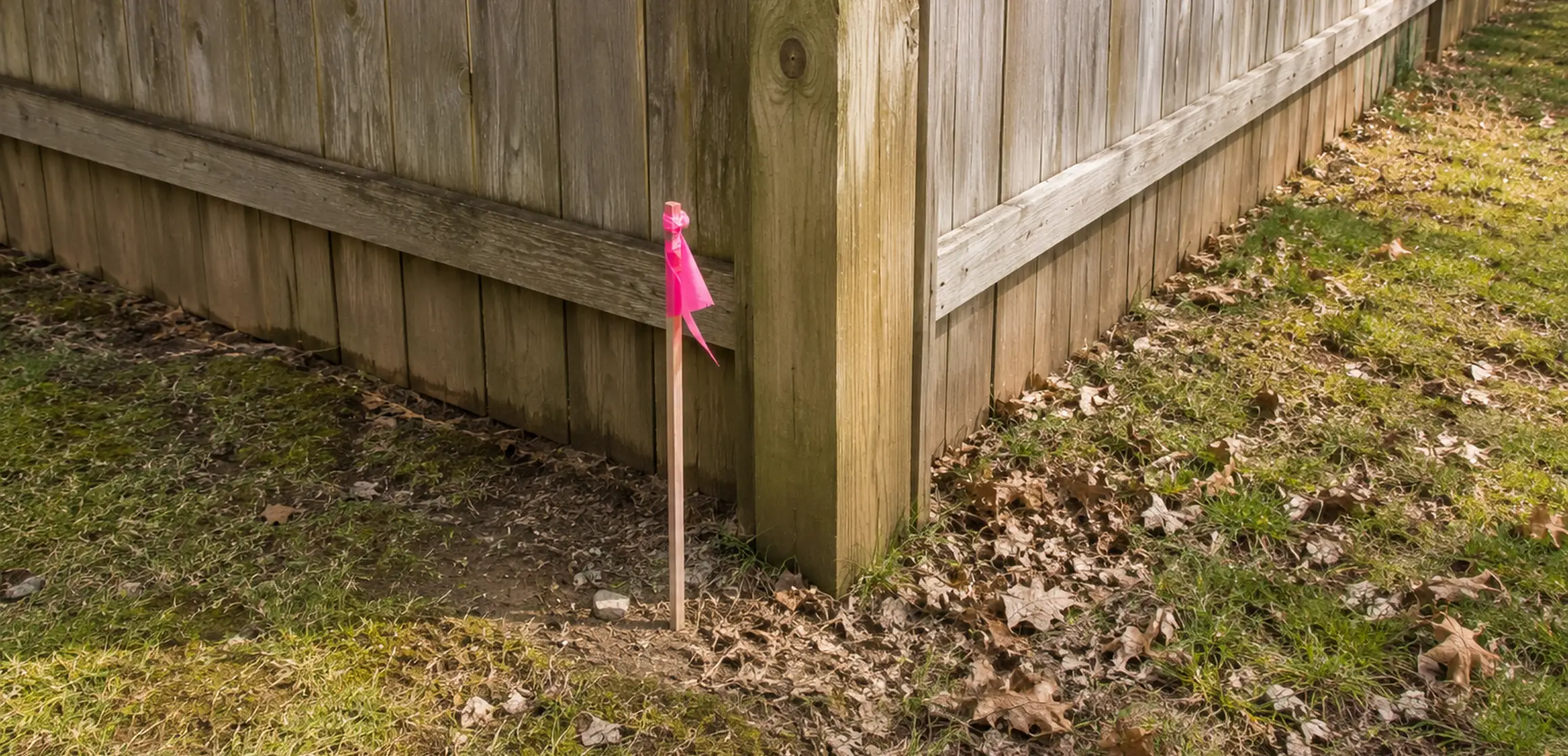
Some parcels have visible or recoverable monuments such as capped rods, iron pins, or concrete markers. Other metal or marked objects may belong to utilities or unrelated work, so leave a suspected corner undisturbed for a Michigan-licensed surveyor to identify.
A found object is not proof of the boundary by itself. Photograph its location without moving it and provide the record documents and observations to the surveyor if the line matters. Contact the utility-notification service before any digging.
When public records are not enough
Save the available parcel and plat records for the property. When the location of the line could affect a purchase, fence, addition, driveway, or dispute, have a Michigan-licensed surveyor locate it in the field.