
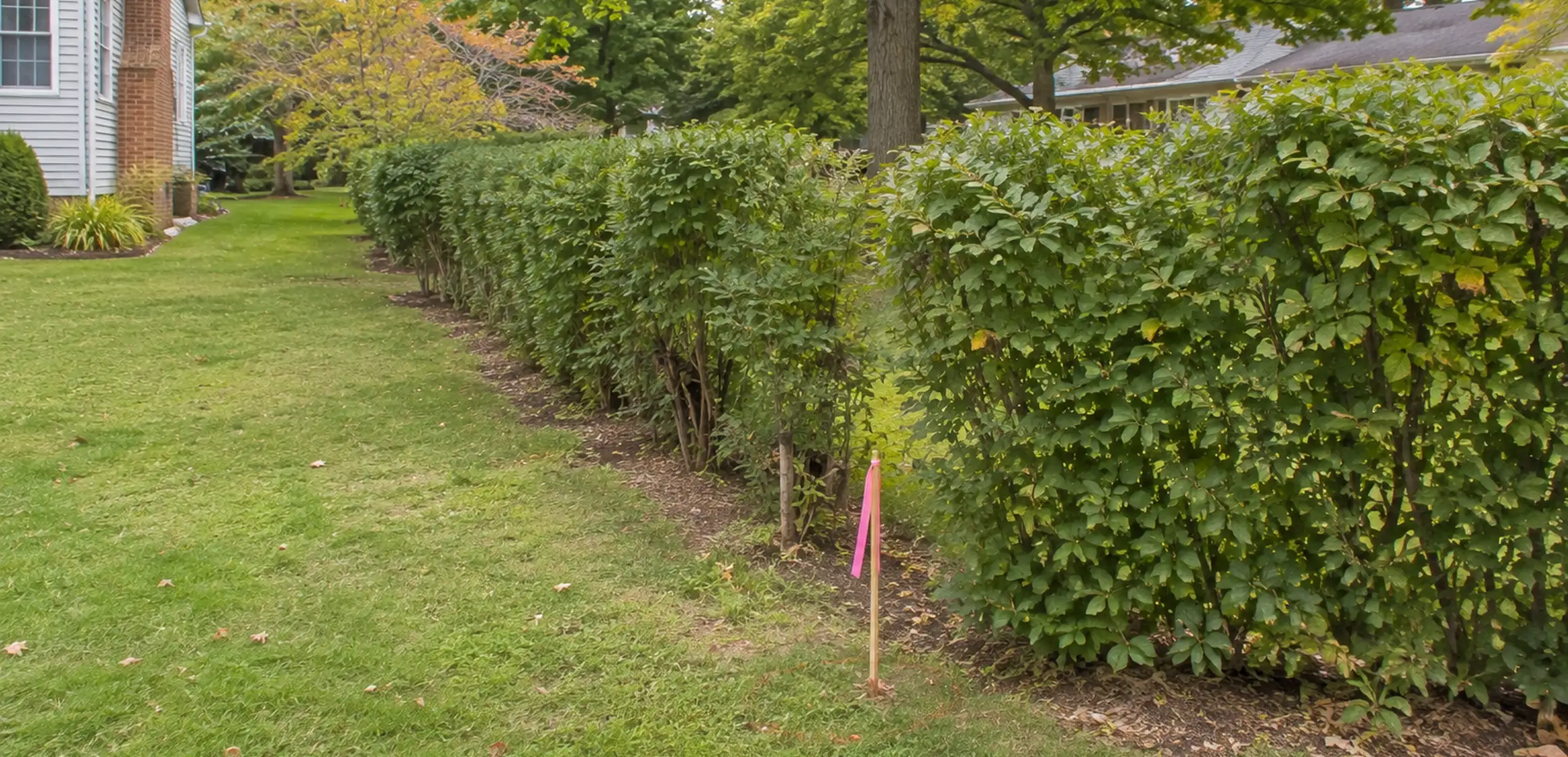
What a property-line app shows
A property-line app may make its colored overlay look exact, but the display can combine approximate public parcel geometry, aerial imagery, and the phone's estimated position. It should not be treated as a boundary determination for a Washtenaw County property.
Why the line matters before you buy or build
A question involving a driveway, tree, garage, fence, or shared access can affect project feasibility, title review, or use of the property. Record the exact feature and resolve the question through the appropriate survey, municipal, title, or legal channel before relying on it.
If you are comparing several properties, record the boundary, tax, and school questions for each address in one place.
How apps draw property boundaries
A property-line app may display county GIS parcel data over aerial imagery. The parcel layer is a digital representation used for assessment and public research, not a surveyed boundary. Its limitations depend on the source data and processing.
Phone positioning varies with device, surroundings, satellite visibility, and software. The parcel layer and aerial image also have their own source dates and alignment limits, so apparent agreement among the screen layers does not verify a field corner.
Property records in Washtenaw County
Washtenaw County's Equalization Department maintains county parcel information, while the Register of Deeds provides access to recorded deeds and plats. Those records and a professional survey serve different purposes; an app should not be assumed to incorporate every relevant instrument or field condition.
Washtenaw County includes subdivision lots and metes-and-bounds parcels with different record histories. Use the legal description and parcel-specific documents instead of assuming the app has incorporated every plat, easement, division, or later adjustment.
How to verify property lines yourself
Start with MapWashtenaw and compare its parcel identifier, displayed geometry, and available fields with the app. Our guide to free boundary research explains how to add recorded documents without mistaking the result for a survey.
The property-line map online guide covers the GIS lookup step by step, while the property-lines map guide explains how parcel, deed, plat, and survey sources fit together.
- Compare the app's line to the Washtenaw County parcel search dimensions and tax description.
- Check the recorded plat or deed at the Clerk/Register of Deeds for the legal description.
- Photograph an already visible possible monument without moving or identifying it yourself.
- When a decision depends on the line, ask a Michigan-licensed surveyor what field work and deliverables are appropriate.
Why the app and the ground disagree
No single accuracy figure applies to every phone, app, parcel layer, or site. Positional uncertainty in the device and mapping layers can compound, so the on-screen line is appropriate for orientation but not for deciding where a fence or structure should go.
Use the app to orient yourself and identify a possible parcel number. Compare that number with the transaction and recorded documents, then ask a licensed surveyor to address any material field-location question.
Use the app as a starting point
Check the app display against the parcel, plat, and municipal records. If a boundary affects your offer or a planned improvement, ask a Michigan-licensed surveyor to locate it before relying on the screen line.