
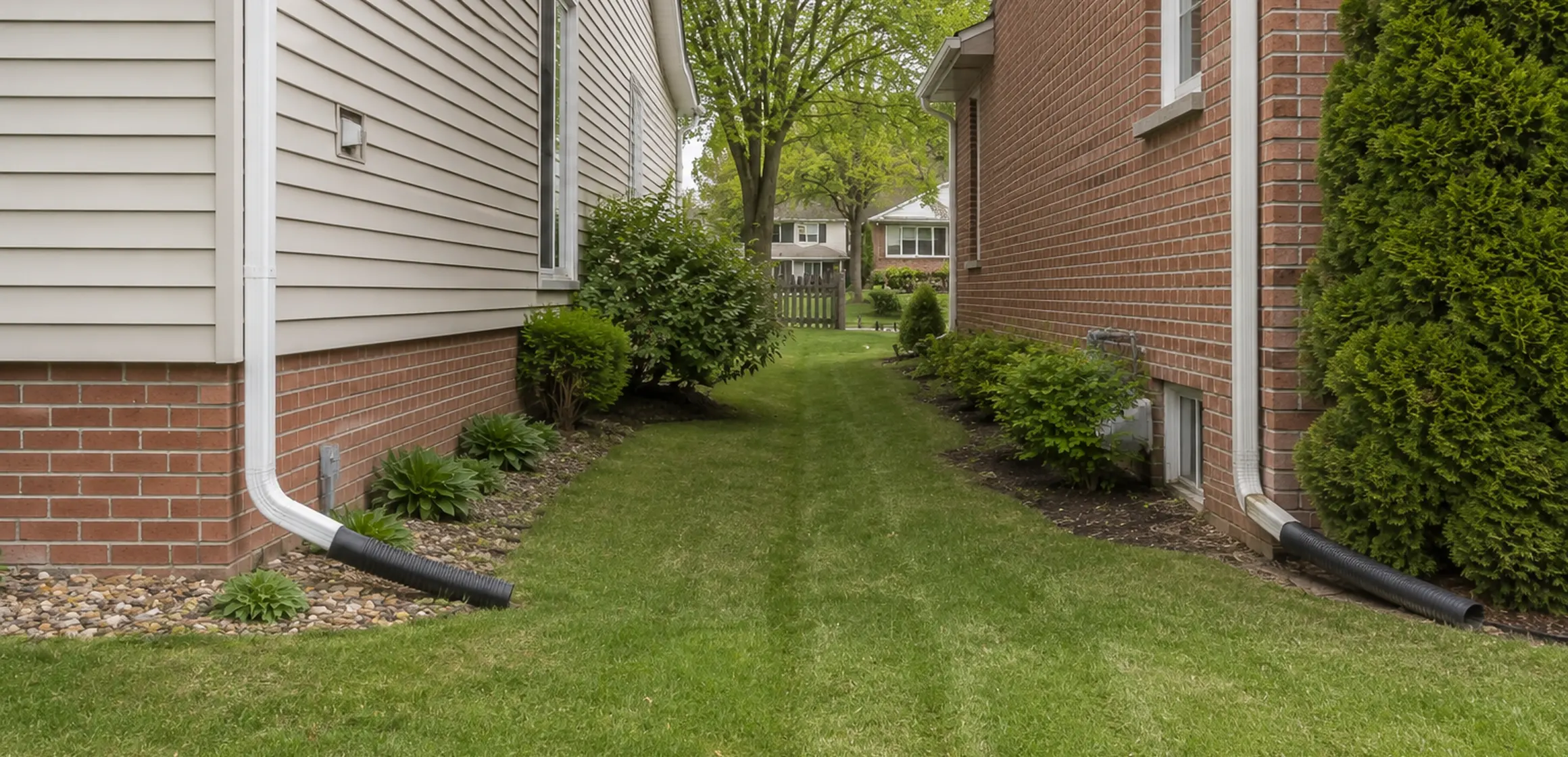
Raise the boundary question early
A fence, shed, driveway, or maintained yard edge may prompt a boundary question during a Washtenaw County purchase. Identifying the specific feature early allows time to obtain the relevant records and professional advice within the contract deadlines.
Keep boundary verification with the rest of the property diligence. Read the surveyor's opinion of the line on the ground with the deed, title material, and any recorded rights.
What a property-line survey is
A boundary survey is professional work performed to an agreed purpose and scope. The surveyor researches applicable records, makes field measurements, evaluates recovered evidence, and reports or depicts conclusions and limitations in the chosen deliverable.
Do not assume a mortgage-related location product is the same as a boundary survey. Read the stated purpose, certification, scope, and limitations of any drawing. Ask the surveyor, lender, and title professional whether it answers the question at issue.
Washtenaw County parcel and survey records
MapWashtenaw is a useful public starting point for identifying a tax parcel, while the Register of Deeds provides access to recorded land documents. Neither source replaces the surveyor's record research and field work.
Record descriptions and available monument evidence vary among Ann Arbor, Dexter, Scio Township, Pittsfield Township, and other Washtenaw County parcels. The surveyor evaluates the applicable documents and field evidence rather than relying on the parcel overlay.
Review public records before ordering a survey
Start with public records to identify the parcel and the feature at issue. Our guide to free boundary research explains how to compare MapWashtenaw with recorded materials without identifying monuments or boundaries yourself.
The county parcel viewer provides an approximate online boundary. Review the property-line map overview to understand what it shows and where it falls short.
See property-lines maps and their limits for a broader comparison of county GIS maps and recorded plats.
When the line matters to a purchase, fence, or addition, ask a Michigan-licensed surveyor what survey type and scope are appropriate. Provide the deed, title material, recorded plat, and prior survey if available, and request a written proposal for the work and deliverables.
What a survey does not resolve
A boundary survey addresses location evidence within its stated scope. Ownership, easement interpretation, adverse-possession or prescriptive-rights claims, and other legal disputes may call for separate advice from a qualified attorney.
A prior survey remains useful context, but the surveyor should decide whether later construction, grading, missing monuments, or additional documents require new work. Cost and timing depend on the parcel and requested scope.
Survey scope and deliverables
Deliverables vary with the agreed scope. Ask whether the surveyor will recover or set monuments, show dimensions and visible improvements, depict specified recorded easements, provide a sealed drawing, or supply another requested certification.
Review the drawing and report with the surveyor. If a feature appears to cross a line or an easement is shown, ask the title professional or attorney what it means for the transaction and intended use. Keep the survey with the property records for future reference.
Preparing for the survey
Give the surveyor the parcel, plat, deed, and title materials available for the property. Identify the fence, drive, structure, easement, or proposed project that raised the question so the quoted scope addresses it.