
Land-survey app accuracy for Washtenaw County buyers
A land-survey app can display an approximate parcel outline, but it cannot establish a Washtenaw County boundary. Use it for orientation and parcel identification, then move to recorded documents and professional survey work when the location matters.
Why a boundary estimate is not a boundary answer
A discrepancy involving a driveway, tree, garage, fence, or shared access can affect project planning, title review, or use of the property. Record the issue early enough to obtain the appropriate survey, municipal, title, or legal guidance within the contract deadlines.
What a land-survey app measures
A property app may combine a public GIS parcel layer, aerial imagery, and the phone's estimated position. Available fields vary by app and source, so check where the displayed geometry and property information came from.
Phone positioning and GIS overlays each carry uncertainty that changes with equipment, environment, source data, imagery, and processing. An app should not be assigned a universal accuracy figure. A licensed surveyor applies record research, field evidence, professional methods, and an identified scope.
If an app, GIS layer, visible feature, and survey appear to disagree, ask the surveyor and any relevant title or legal professional to explain the evidence. Do not choose the preferred line yourself.
App estimates of elevation, slope, or area are also unsuitable for permitting or design unless the responsible professional or public office expressly accepts that data.
Michigan licensing and Washtenaw County records
Michigan regulates professional surveying through the Department of Licensing and Regulatory Affairs. Verify the professional's current license and retain a written scope. Apps and online parcel maps are not professional survey products.
Washtenaw County provides parcel information for assessment and public research through MapWashtenaw. Recorded deeds and plats are separate land records available through the Register of Deeds, and neither source should be described as a field boundary survey.
A mailing address does not identify the applicable legal description, easements, or record history by itself. Match the parcel identifier and transaction documents to the records for that specific property.
For any parcel described by metes and bounds, or any property with complex access, water, or easement questions, make sure the survey proposal addresses the actual legal description and intended use.
How to verify a boundary before you buy
Start with the county's online parcel-map guide to identify the parcel and compare the listing with public assessment data. Check the source date and limitations before relying on any displayed acreage or geometry.
Next, locate the recorded plat, deed, and any prior survey available through the transaction or Washtenaw County records. The substantive land-surveys guide explains how those records fit into professional field work.
If the location affects a purchase, project, financing condition, or dispute, ask a Michigan-licensed surveyor what survey type is appropriate. Ask the lender and title professional separately what each will accept.
Organize boundary and other diligence questions by address and contract deadline.
When an app helps and when you need a surveyor
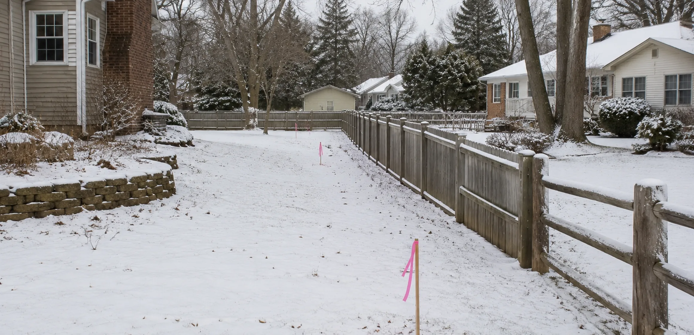
Use an app for orientation and parcel identification, while treating displayed acreage and geometry as fields to verify. Do not use the overlay to place a fence or structure, resolve a dispute, or certify compliance with a setback.
When the property line must be located on the ground, obtain a proposal from a Michigan-licensed surveyor. The property-lines and boundaries guide explains the related deed, plat, easement, and title questions.
Review the purchase agreement and negotiated terms for any survey obligation, cost allocation, or deadline; ask a qualified real-estate or legal professional about unclear terms. Ask whether an existing survey is available, then have the surveyor and other relevant professionals decide whether it remains suitable for the intended use.
From an app estimate to a surveyed line
Save the public parcel and plat records behind the app display. If the line affects the purchase or a planned improvement, give those records and the specific question to a Michigan-licensed surveyor.