
A parcel map is not a boundary survey
County GIS, assessor maps, listing maps, and phone apps are useful for finding a parcel and seeing nearby features. Washtenaw County expressly warns that its viewer is not suitable for legal, engineering, or surveying decisions. Screen graphics can be offset from fences, drives, tree lines, and aerial photographs.
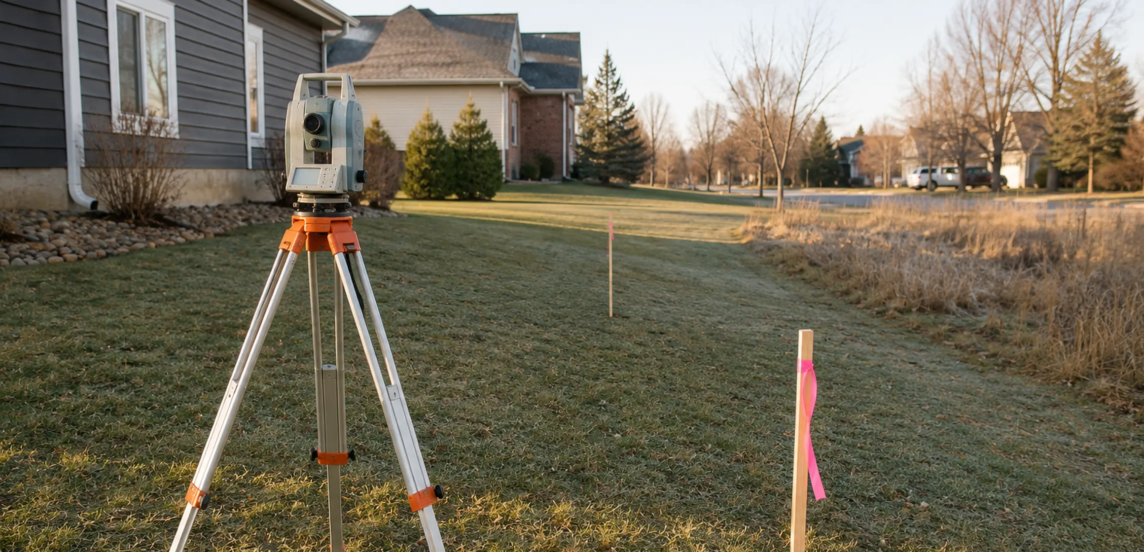
A boundary survey is prepared by a licensed professional surveyor using deeds, plats, field evidence, measurements, and the applicable surveying standards. It is the right tool when a decision depends on the location of the legal boundary.
When buyers commonly consider one
- The lot has acreage, irregular dimensions, older legal descriptions, or no recent survey.
- A fence, drive, garage, shed, retaining wall, or landscaping appears close to a boundary.
- The title record includes access, utility, drainage, or other easements that need to be located on the ground.
- The buyer expects to add a fence, outbuilding, addition, driveway, pool, septic field, or other site improvement.
- The visible use of the land does not match the parcel map, seller representation, or deed description.
How to request a survey
Tell the surveyor what decision you need to make. Confirm the type of survey, its deliverables, whether corners will be located or set, and whether improvements and recorded easements will be shown. Ask what records are needed and how site conditions affect timing. Request any prior survey from the seller, but let the surveyor decide whether it can be relied on or updated.
Before hiring, verify the professional’s Michigan license and obtain a written scope. A lender’s location report or mortgage inspection may answer a narrower question than the boundary work a buyer expects; clarify the product by name and scope rather than assuming all “surveys” are equivalent.
Review the survey with title and zoning records
A survey locates features and rights described in the record; it does not decide every zoning, title, environmental, or legal question. Pair it with the title commitment, recorded documents, municipal zoning information, and professional advice appropriate to the proposed use.