
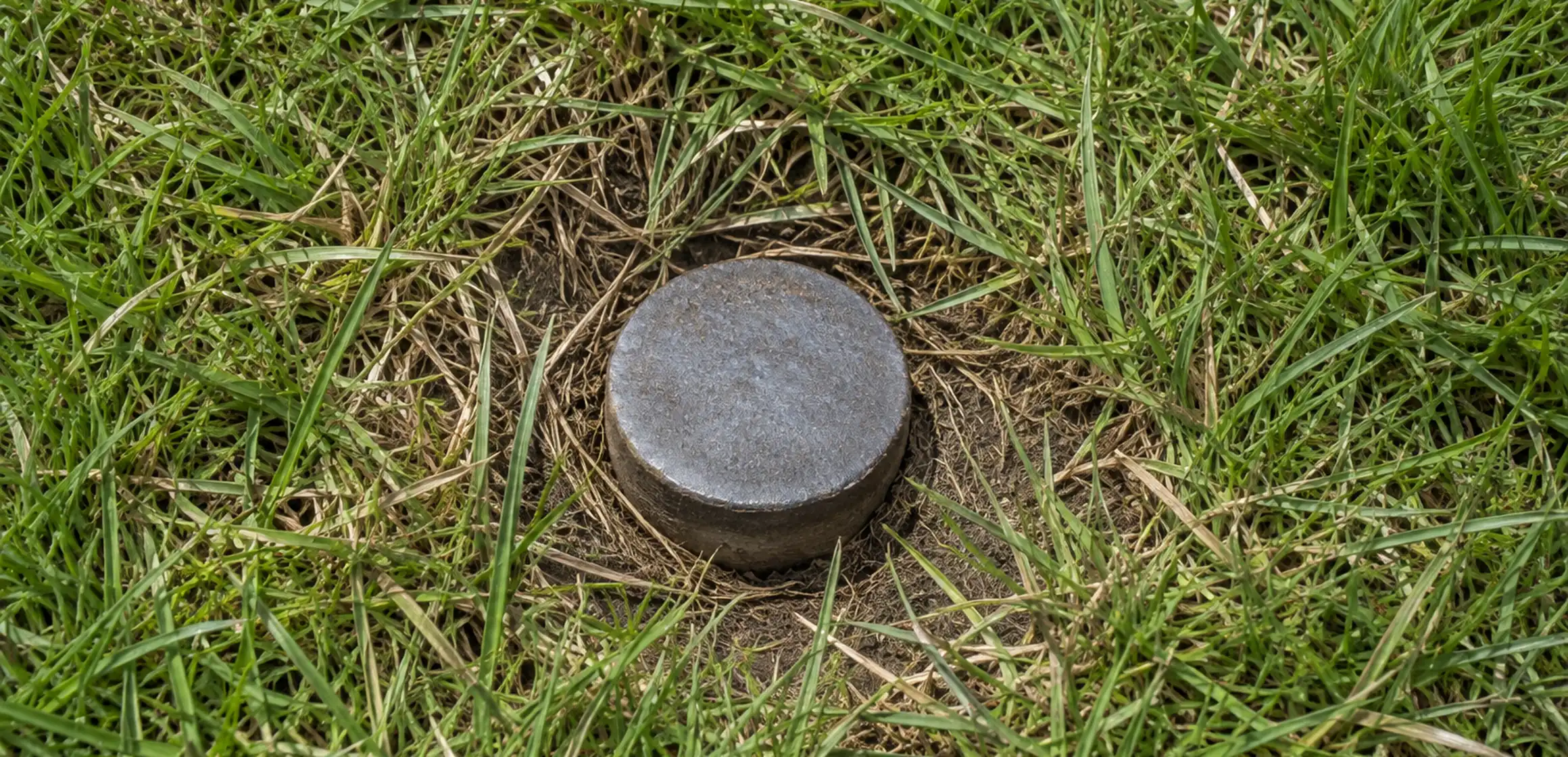
Why the plat map matters before you close
A recorded plat can reveal easements, dedications, or dimensions that are not apparent during a showing. Review it early enough to ask how a displayed item affects the specific parcel and any proposed use.
A plat records the subdivision details shown when it was filed. Depending on the drawing, those details may include dimensions, easements, dedications, building lines, monuments, or notes. Read the actual document and refer questions about current rights or project feasibility to the appropriate survey, title, legal, or municipal professional.
What a plat map shows
A recorded plat and a current survey serve different purposes. The deed may identify a lot, block, and subdivision shown on the plat. A surveyor relates applicable record evidence and field evidence and may locate improvements or monuments according to the agreed scope.
For the broader picture of how recorded boundaries are drawn across a whole area, see how a property lines map layers parcels together.
Check the legend, notes, certificates, and amendment references as well as the lot outline. Record only the dimensions, easements, dedications, building lines, common areas, roads, or other features shown, and verify whether later instruments changed the record.
Michigan plats and the Washtenaw County record
The Washtenaw County Register of Deeds holds recorded plat information, and MapWashtenaw can help identify the parcel and relevant subdivision reference. The mailing address is not the legal description, so use the transaction documents to locate the plat for the specific lot.
A street may cross several subdivisions or unplatted parcels. Review the record for the parcel itself and confirm current zoning or setback rules with the responsible city or township.
How to verify a plat map for a specific address
Start with the deed's legal description and title material, then follow the Washtenaw County Register of Deeds' current search instructions for the referenced subdivision and recording information. MapWashtenaw can help identify the parcel but is not a substitute for the recorded plat. For the online workflow, follow the steps for locating a plat map.
- Locate the legal description on the deed or title commitment.
- Search the Washtenaw County Register of Deeds plat records by subdivision name.
- Cross-check displayed dimensions and easements against the deed, title material, and any available survey.
- If a visible feature appears inconsistent with the records, ask a licensed surveyor what boundary work is appropriate and direct rights questions to a title professional or attorney.
What the plat does not cover
A plat records how a subdivision was laid out when it was filed. Later divisions, combinations, road actions, easements, amendments, or boundary agreements may be documented separately and require their own review.
Unplatted land may use a metes-and-bounds or other legal description rather than a subdivision lot reference. Use the deed and title material to identify the applicable record system.
Reading the dimensions and the dedications
A plat may show lot dimensions, streets, dedications, building lines, and easements reserved at the time of platting. Read the legend, notes, certificates, and amendments rather than relying on the lot outline alone.
A public right-of-way may extend beyond the traveled pavement. Confirm its width and the rules for planting, parking, or construction with the recorded document and the agency that controls it.
Read the plat alongside the deed, title materials, later recorded instruments, and any available survey. Do not assume the base plat depicts every later division, combination, easement, or agreement.
What to confirm beyond the plat
Use a surveyor for field boundaries, the municipality for current setbacks and permitted uses, and a title professional or attorney for questions about recorded rights.