
Why property boundaries matter
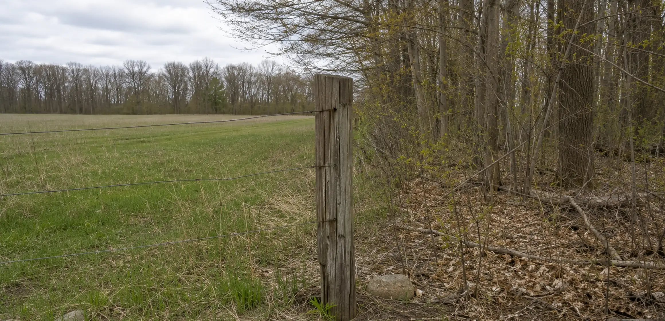
A fence, hedge, tree line, mowing pattern, or driveway edge may look like the edge of a property without matching the recorded boundary. Buyers should identify the feature they intend to use and compare it with the parcel record, deed, plat, title materials, and any available survey.
If the sources conflict, do not infer a line or a remedy. A licensed surveyor can address location evidence, while a title professional or real-estate attorney can address recorded rights and legal consequences. Contract deadlines and responsibility for additional work depend on the transaction.
Keep any boundary question, supporting records, follow-up, and the cost of further review with the rest of the purchase diligence.
What legally defines a property boundary
A deed contains the parcel's legal description, and a plat or survey may supply additional boundary evidence. Sidewalks, curbs, fences, and tree lines should not be assumed to mark the legal line.
A deed may use metes-and-bounds calls, reference a recorded subdivision plat, or rely on another legal-description system. Later recorded documents can also matter, so follow the references for the specific parcel rather than assuming one standard format.
A current boundary survey by a licensed professional can locate monuments, make measurements, and compare site conditions with the record documents. A prior survey may still be useful; ask the surveyor whether later work or missing evidence changes what is needed.
Property boundaries in Washtenaw County
The Washtenaw County Register of Deeds provides recorded deeds and plats, while county parcel mapping supports assessment and public research. The GIS geometry is not a field survey and may not align perfectly with aerial imagery or visible improvements.
Records can also reflect different purposes and dates. If a current fence, driveway, alley, or improvement appears inconsistent with a legal description or plat, review the property and relevant records rather than assuming why the difference exists.
How to check property boundaries for a specific address
Start with the online Washtenaw County parcel-map guide to identify the tax parcel and approximate displayed shape. The GIS layer is not a field survey and should not be used to settle a dispute or place an improvement.
For the recorded legal description, request the deed and any recorded plat from the Washtenaw County Register of Deeds. How to find property lines explains which documents and public tools to check before calling a surveyor.
If you are looking for ways to find your property line for free, start with the GIS viewer and available recorded documents. When a decision depends on the location, ask a Michigan-licensed surveyor what boundary-survey scope is appropriate and what features or recorded easements will be depicted.
When the boundary affects the purchase
Assemble the recorded parcel, deed, plat, and title information for the property. A licensed surveyor can locate the boundary, while a title professional or attorney can advise on ownership or use rights.