
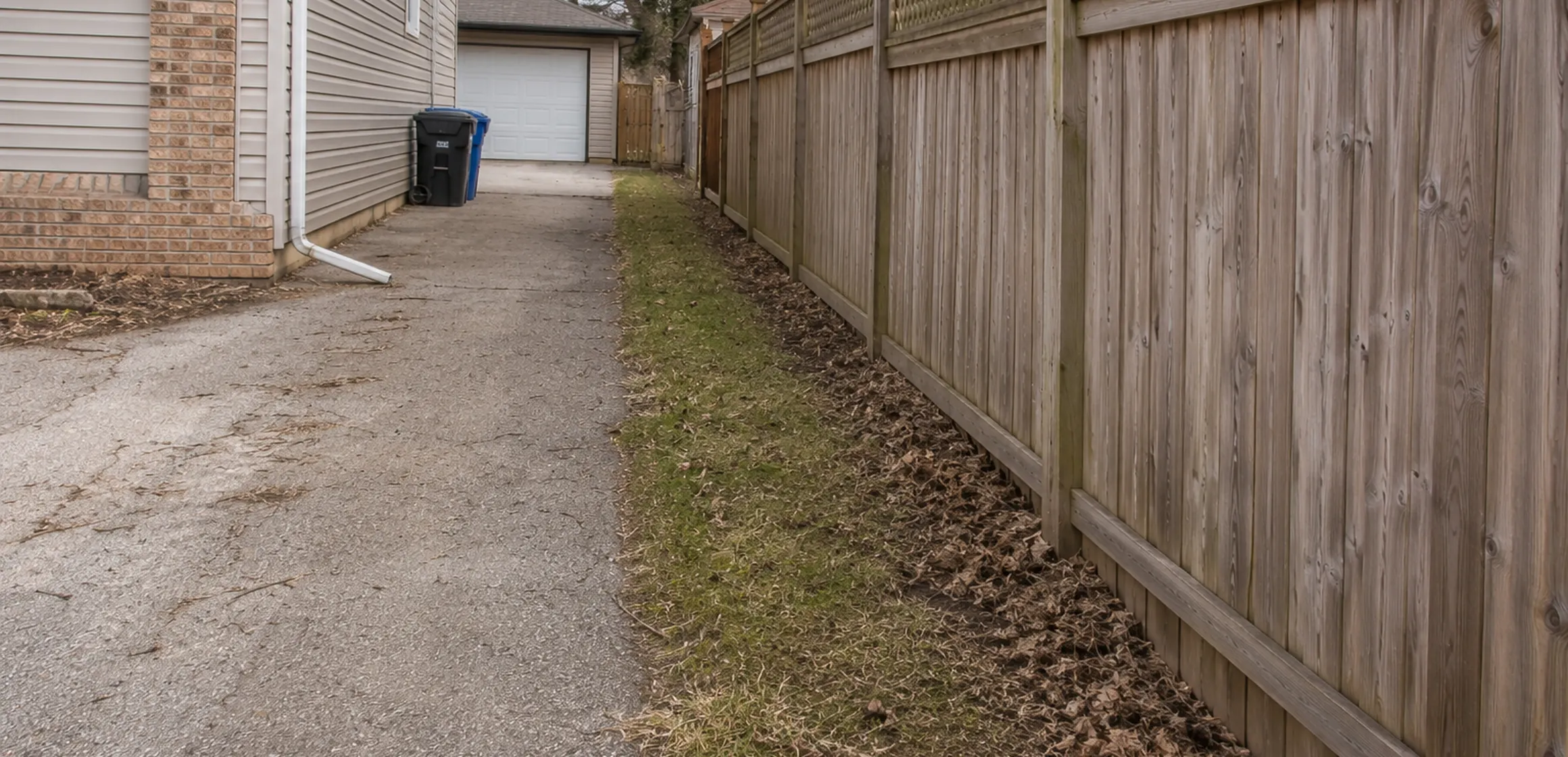
Start with the feature that raised the question
The edge of a lawn, fence, hedge, driveway, or maintained area may not coincide with the recorded boundary of a Washtenaw County parcel. Treat visible features as observations to compare with the deed, plat, title materials, and any available survey.
A discrepancy can affect the use of a driveway, detached structure, garden, or shared access. Identifying the question before contractual deadlines gives the buyer and the relevant professionals time to review and resolve it.
Why boundary uncertainty matters
Boundary evidence can affect ownership, maintenance, access, and whether a proposed project meets applicable setbacks. A discrepancy may call for a survey, title review, municipal guidance, or legal advice, depending on the facts.
A fence, shed, driveway, tree, or access route that matters to the purchase should be identified expressly. Do not infer ownership, rights, or project feasibility from its visible position.
Sellers can reduce uncertainty by locating prior surveys, permits, and recorded access documents before listing. Any survey or title requirement is transaction-specific, so the parties should ask the lender, title professional, surveyor, or attorney what that file requires.
What creates a legal boundary line
A deed supplies the legal description. A recorded plat may show the subdivision geometry, while a boundary survey relates the record evidence and recovered monuments to conditions on the ground. A disputed line may require legal interpretation in addition to survey work.
Check a surveyor's Michigan license through the Department of Licensing and Regulatory Affairs. A prior survey may still be informative; ask whether later construction, grading, missing monuments, or additional recorded documents require new field work.
Easements can affect use even when ownership is not disputed. Obtain the recorded instrument and have a title professional or attorney explain its scope. Conflicting monuments, site occupation, and record descriptions may require both survey and legal review. The documents and the parties determine the available remedy.
Where Washtenaw County records fit
Washtenaw County includes cities, villages, and townships that keep different records. The Register of Deeds holds deeds and plats, while the Equalization Department maintains parcel boundaries used for tax assessment. Those tax-parcel lines provide orientation; they are not legal boundary determinations.
The issue varies by property. It may involve a fence or shared driveway on one parcel and space for a well, septic replacement area, accessory structure, or addition on another. Confirm the plan with the surveyor and the public office responsible for zoning, building, or environmental health.
Zoning, building, environmental-health, drain, and floodplain rules are separate from the boundary record. If a future garage, fence, pool, septic area, or addition matters, ask the public offices responsible for the address what current requirements and site information they use.
How to verify a property line before closing
Start with the tax parcel map. The Washtenaw County GIS parcel viewer shows the assessed parcel shape, owner, and tax information by address. Use it as a starting point, then compare it against the recorded plat and deed available from the Register of Deeds.
A county parcel and boundary map can show the assessed parcel, but tax maps can contain errors. Confirm the legal line separately through the appropriate survey work.
When the location matters to a purchase, project, or dispute, ask a Michigan-licensed surveyor what survey scope is appropriate. Separately confirm with the lender, title professional, municipality, or attorney what documentation each requires.
Finding property lines in Washtenaw County covers the available public records and professional survey options.
Resolving a boundary question
Gather the available parcel, plat, deed, and title records for the property. If a fence, driveway, building, or planned improvement depends on the line, have a Michigan-licensed surveyor locate it and ask a title professional or attorney to address ownership rights.