
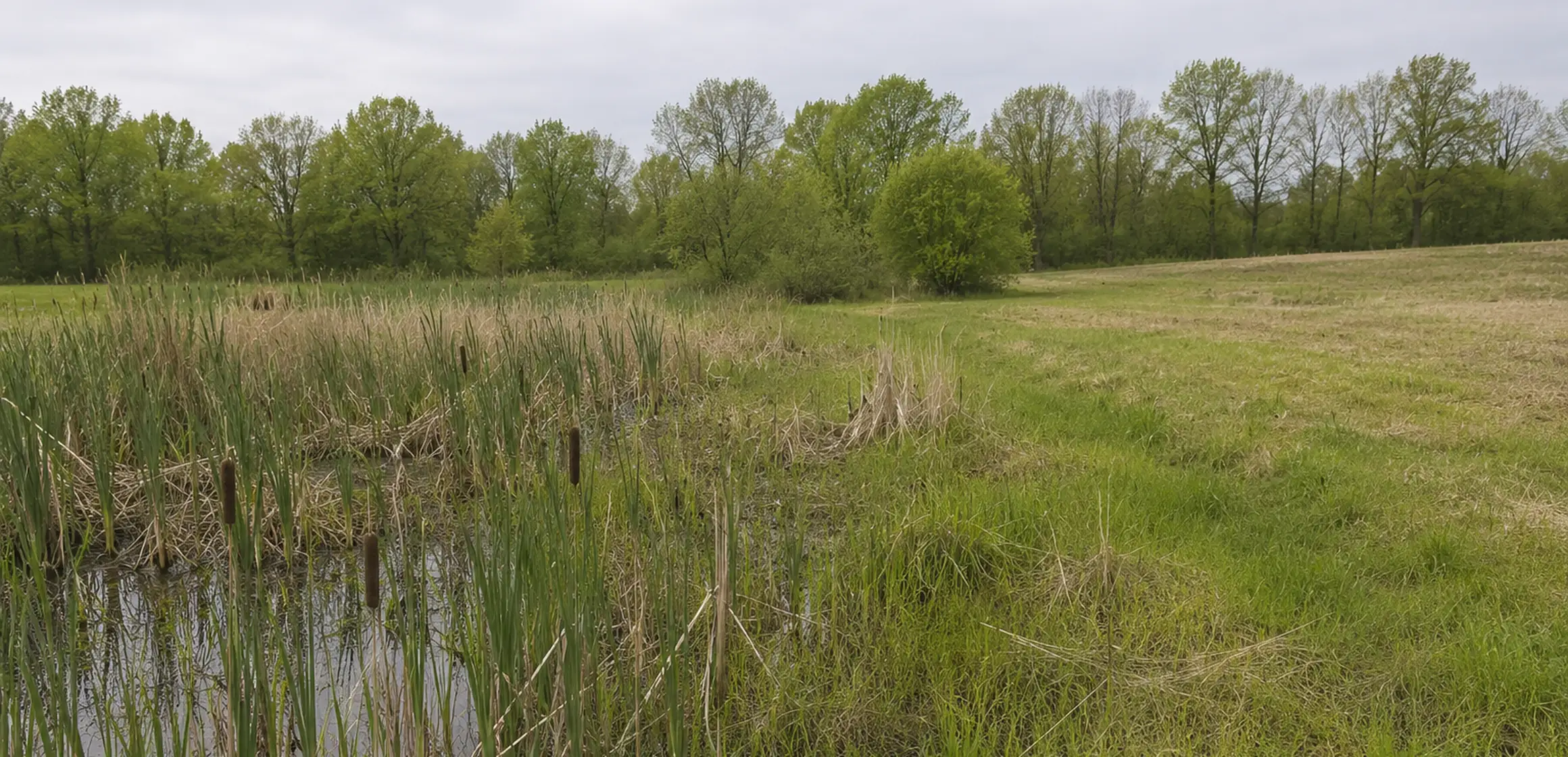
Use maps for initial screening
Michigan’s Wetlands Map Viewer is useful for early screening. EGLE states that it shows potential and approximate wetland conditions and is not intended to establish the location or jurisdictional boundary of a regulated wetland. A clean-looking map does not guarantee that the full parcel is buildable, and a mapped area is not a site-specific determination.
An onsite evaluation can identify actual conditions for a project. Review those findings alongside zoning setbacks, the proposed building footprint, access, grading, utilities, wells, septic areas, floodplains, drains, and local regulations.
Review parcel feasibility
- Confirm the parcel number, legal access, zoning district, dimensional requirements, and proposed use with the local municipality.
- Screen the parcel in the EGLE Wetlands Map Viewer and MapWashtenaw, keeping the limitations of both maps attached to your notes.
- Ask EGLE and the municipality which wetland, floodplain, soil-erosion, drain, or local approvals may apply to the specific work proposed.
- Locate well and septic records, soil evaluations, easements, utilities, drains, and any prior environmental or land-use approvals.
- Use qualified wetland, engineering, surveying, soil, septic, and legal professionals as the project requires before waiving a feasibility contingency.
Measure usable land, not just acreage
The advertised acreage is the parcel area; it does not describe the buildable envelope. Ask where the home, driveway, utilities, stormwater work, well, primary septic field, and replacement area could fit. A preliminary layout may change after topography, soil, access, and regulated features are located.
If work may affect a wetland, inland lake or stream, Great Lakes bottomland, floodplain, dam, critical dune, or high-risk erosion area, EGLE’s joint permit process may apply. Before estimating cost, confirm whether the work is allowed and what review is required.